Trinidad and Tobago
Where is it?

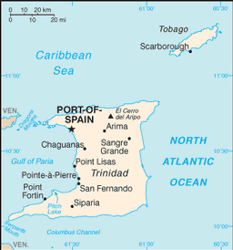
Country Map
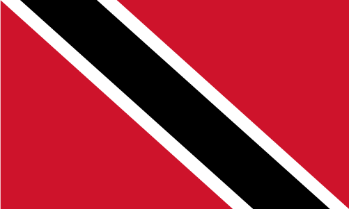
Country Flag
Geography
|
Continent:
|
North America |
|
Area:
|
5,128 sq km OR 1,980 sq mi |
|
Coastline:
|
362 km OR 225 mi |
|
Elevation extremes:
|
lowest point: 0 m OR 0 ft highest point: 940 m OR 3,084 ft |
Population
|
Population:
|
1,360,088 (2010) |
|
Population growth rate:
|
0.36% (2010) |
|
Population density:
|
265 per sq km OR 687 per sq mi |
|
Urban vs Rural Population:
|
Urban: 8.40% Rural: 91.60% |
|
Life Expectancy:
|
71.37 (2010) |
|
Infant Mortality:
|
27.69 (2010) |
|
Birth Rate:
|
14.5 per 1000 (2010) |
|
Death Rate:
|
9.6 per 1000 (2010) |
|
Overall Literacy:
|
98.60% (2010) |
|
Male Literacy:
|
99.10% (2010) |
|
Female Literacy:
|
98% (2010) |
Government
|
Capital:
|
Port of Spain |
|
Official Language(s):
|
English |
Economy
|
GDP Per Capita:
|
$15,573 |
|
Currency:
|
Trinidad and Tobago Dollar |
Top
 Back to Country List