Swaziland
Where is it?

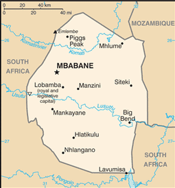
Country Map
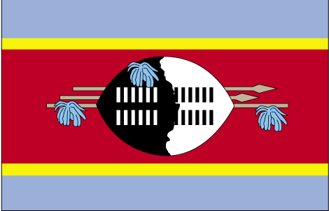
Country Flag
Geography
|
Continent:
|
Africa |
|
Area:
|
17,363 sq km OR 6,704 sq mi |
|
Coastline:
|
0 km OR 0 mi |
|
Elevation extremes:
|
lowest point: 21 m OR 69 ft highest point: 1862 m OR 6,109 ft |
Population
|
Population:
|
1,286,970 (2010) |
|
Population growth rate:
|
1.33% (2010) |
|
Population density:
|
74 per sq km OR 192 per sq mi |
|
Urban vs Rural Population:
|
Urban: 21.30% Rural: 78.70% |
|
Life Expectancy:
|
48.66 (2010) |
|
Infant Mortality:
|
63.09 (2010) |
|
Birth Rate:
|
29.9 per 1000 (2010) |
|
Death Rate:
|
11.8 per 1000 (2010) |
|
Overall Literacy:
|
87.50% (2010) |
|
Male Literacy:
|
87.40% (2010) |
|
Female Literacy:
|
87.50% (2010) |
Government
|
Capital:
|
Mbabane (administrative) Lobamba (royal and legislative) |
|
Official Language(s):
|
English Swati |
Economy
|
GDP Per Capita:
|
$3,094 |
|
Currency:
|
Lilangeni |
Top
 Back to Country List