Equatorial Guinea
Where is it?

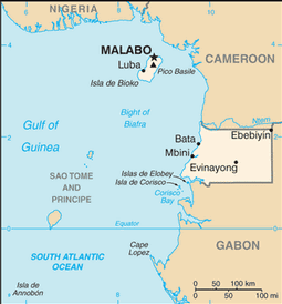
Country Map
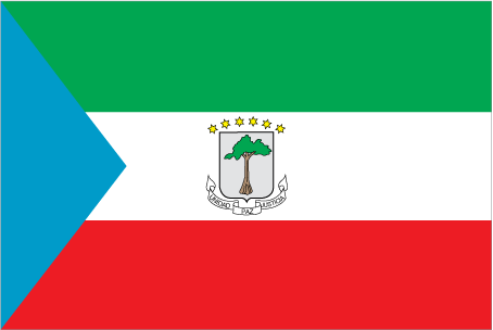
Country Flag
Geography
|
Continent:
|
Africa |
|
Area:
|
28,051 sq km OR 10,831 sq mi |
|
Coastline:
|
296 km OR 184 mi |
|
Elevation extremes:
|
lowest point: 0 m OR 0 ft highest point: 3008 m OR 9,869 ft |
Population
|
Population:
|
845,060 (2010) |
|
Population growth rate:
|
2.90% (2010) |
|
Population density:
|
30 per sq km OR 78 per sq mi |
|
Urban vs Rural Population:
|
Urban: 39.90% Rural: 60.10% |
|
Life Expectancy:
|
62.37 (2010) |
|
Infant Mortality:
|
77.3 (2010) |
|
Birth Rate:
|
35.4 per 1000 (2010) |
|
Death Rate:
|
11.5 per 1000 (2010) |
|
Overall Literacy:
|
95.30% (2010) |
|
Male Literacy:
|
97.40% (2010) |
|
Female Literacy:
|
93% (2010) |
Government
|
Capital:
|
Malabo |
|
Official Language(s):
|
Spanish French Portuguese |
Economy
|
GDP Per Capita:
|
$32,600 |
|
Currency:
|
CFA Franc |
Top
 Back to Country List