Zambia
Where is it?

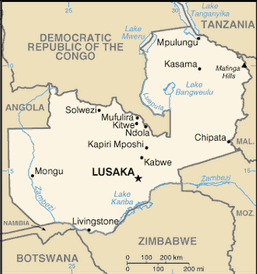
Country Map
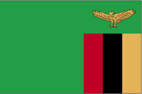
Country Flag
Geography
|
Continent:
|
Africa |
|
Area:
|
752,614 sq km OR 290,586 sq mi |
|
Coastline:
|
0 km OR 0 mi |
|
Elevation extremes:
|
lowest point: 329 m OR 1,079 ft highest point: 2329 m OR 7,641 ft |
Population
|
Population:
|
16,211,767 (2010) |
|
Population growth rate:
|
3.12% (2010) |
|
Population density:
|
22 per sq km OR 56 per sq mi |
|
Urban vs Rural Population:
|
Urban: 40.90% Rural: 59.10% |
|
Life Expectancy:
|
52.36 (2010) |
|
Infant Mortality:
|
66.6 (2010) |
|
Birth Rate:
|
42.8 per 1000 (2010) |
|
Death Rate:
|
9.7 per 1000 (2010) |
|
Overall Literacy:
|
80.60% (2010) |
|
Male Literacy:
|
86.80% (2010) |
|
Female Literacy:
|
74.80% (2010) |
Government
|
Capital:
|
Lusaka |
|
Official Language(s):
|
English |
Economy
|
GDP Per Capita:
|
$1,225 |
|
Currency:
|
Zambian kwacha |
Top
 Back to Country List